|
|
|
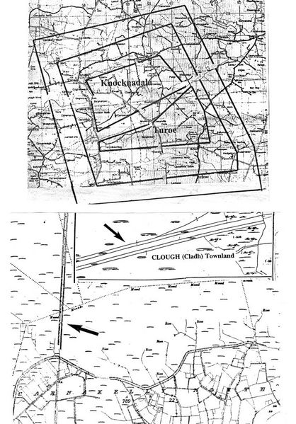
Linear embankments expanded out from Turoe/ Knocknadala (top O.S. map) & encompassed the mini Athenry oppidum as this Fir Belg primary settlement area expanded apace (each set of 3 parallel embankments is represented by 1 line). Compare the one mile defensive dyke on the O.S. Map (middle insert) through Cormacuagh West/ Clough Tlds. with a more lengthy stretch of embankment across the S of Carnakelly North bog and swinging N along the Carnakelly North/ Cloonkeenmore South west boundary (bottom).
|
|